Over a few years going on Wednesday Wanders, I’ve collated quite a lot of data on walking routes in and around Edinburgh. In some cases this is time-stamped GPS data taken from the walk, otherwise it is a route drawn on MapBox after the event. I wanted to explore the TimeManager plugin to try and animate those GPS tracks, but I didn’t have immediate success. As this was just a quick project, I decided to use all the data I have and ignore the time-stamp element, just animate each route at a set pace. But here’s an example of what the TimeManager plugin can do:
This is where the mmqgis plugin comes in. It has a nice ‘animate lines’ function, which would do exactly what I wanted. Then it was a case of setting up the styles for the routes themselves as well as a background map. This is where I hit a slight issue – using the OpenLayers plugin to add my preferred background map (in this case, Stamen Toner), I discovered mmqgis would now stall as soon as you asked it to animate the lines. This was true with all maps in the OpenLayers plugin – frustrating.
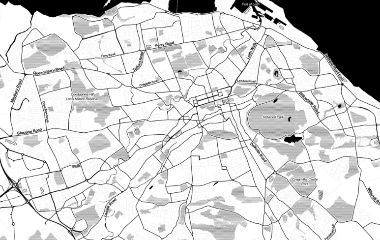
This could be got round by using the QOSM plugin, but that limits you to the basic OSM map set, no Stamen Toner here. And as this little project is mostly about style, I want to use my preferred map. So the only option is to export the Stamen background as a tif and georectify it, but this will bring in some spatial inaccuracy as well as a decrease in definition:
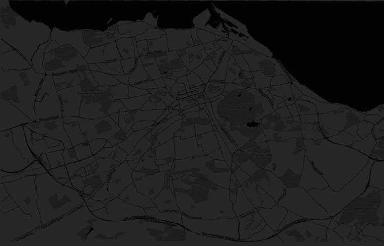
That’s not a perfect result, but I intend to darken the background so these issues should fade away to some extent. By adding a black polygon to the the map view and setting a transparency of 15%, we’ll get a nice background and hide away the georeferncing problems:
There we have it. A nice result and a new way to explore the data that fits with the context. I’ll definitely explore the TimeManager plugin more and in the future, but might take a bit more time..
If you try this in QGIS 2.18, you can add tile layers such as Toner natively, so they should work in Time Manager.
Hi Tom, thanks for the info. I was using 2.18.1, but didn’t know tile layers could now be added natively. How is it done? (just had a quick look and couldn’t see it obviously). And just to clarify, it was mmqgis failing with the Toner maps, not TimeManager. Thanks for any help!
Ah, apologies. Read through too quickly. You can only add tile server layers via the browser panel. Look for XYZ. It’s not fully featured yet, but it’s definitely worth investigating. No idea what MMQGIS will do with it, but there’s a chance it will work.
Great – will give that a do (don’t often use the Browser tbh, so hadn’t even looked there!). Will let you know if it helps mmqgis… Thanks